Story
The boundaries of Colorado were carved from four different territories by the U.S. Congress in 1861. These straight lines represent no river, no mountain range, no tribe or language group — yet within the state are many dividers, both geographic and human. The Five States model reveals distinct regions in Colorado, each with its own history, geography, and economy. Each region engenders a certain loyalty from its citizens and shares some common feelings about how things should be done. And each sometimes views the others with a certain degree of caution.
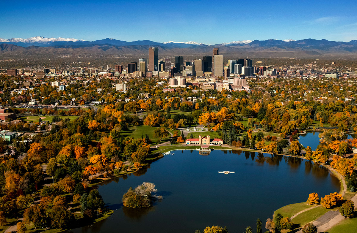
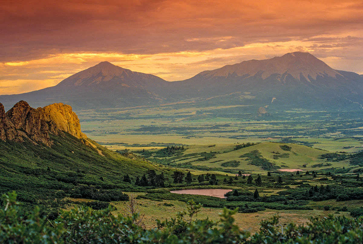
Southern Colorado includes Pueblo, the San Luis Valley and the plains south of the Arkansas River, the old boundary of the Spanish Empire. The vast expanse of land called Western Colorado covers most of the mountain ranges, including North, Middle and South Park, and extends west of the mountains across the high plateau. The Eastern Plains stretch out from the Front Range north of the Arkansas river, although the plains south of the Arkansas are often identified with this region as well. Along the age-old passageway at the foot of the mountains, the Front Range includes the cities and suburbs from Fort Collins to Colorado Springs. Located within the Front Range, Metropolitan Denver is distinguished as a separate region because of its substantial influence in the State’s politics and economy.
The Five States of Colorado is a feature-length documentary film focused on general regions within the man-made boundaries whose cultures and identities have evolved from the land and its history.